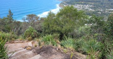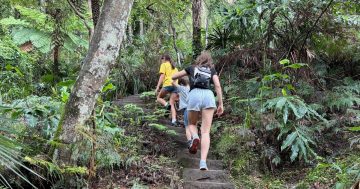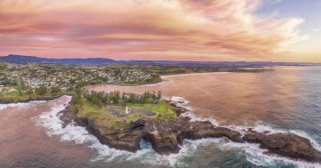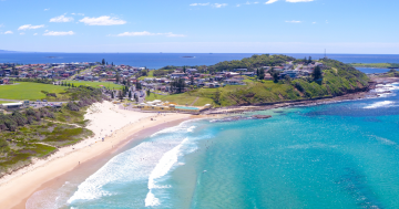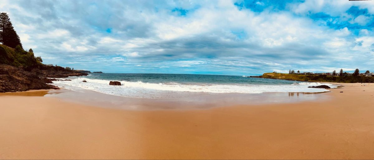
Kendalls Beach is one of the spectacular spots along the Kiama Coast Walk. Photo: Sharon Williams.
If you’re looking for something to do during the school holidays that has the added bonus of getting rid of the Christmas kilojoules, head for the great outdoors and explore the Illawarra on foot.
You can take your pick of easy walking trails for all the family, or tackle more challenging terrain. We’re spoilt for choice in the Illawarra, with walks that will take you along the ocean’s edge, through the escarpment and beyond.
If you’re planning on exploring one of our national parks it’s always a good idea to check for any alerts or closures from the National Parks and Wildlife Service.
The NSW National Parks Association of NSW has a handy guide on what you should take with you and how to best prepare for the day.
Don’t forget a camera, good walking shoes, swimmers if you’d like to take a dip and sunscreen.
Here are a few suggestions to get you started. If you’re keen for more, click here.
Kiama
Kiama Coast Walk
You can do all 20 km in one hit but breaking it up into three sections gives you more time to take in the views and attractions.
North: Minnamurra River to Kiama Blowhole
Distance: 8.5 km
Time: 3 hours
Grade: Medium
Look out for: Minnamurra whale watching platform, Cathedral Rocks, Bombo headland, Bombo Beach
To get there: Start the Kiama Coast Walk from the north at Minnamurra Train Station.
Mid: Kiama Blowhole to Loves Bay Walk
Distance: 6 km
Time: 1.5 hours
Grade: Medium-hard
Look out for: Blowhole Point, Surf Beach, Kendalls Beach, Little Blowhole, Easts Beach
This section takes you through a series of waterfront reserves – Storm Bay, Surf Beach, Kendalls Beach, Easts Beach and Loves Bay, laced together by headlands. The Little Blowhole is midway along this section.
South: Loves Bay to Gerringong
Distance: 6 km
Time: 2 hours
Grade: Medium-hard
Look out for: Loves Bay, Werri Lagoon, Gerringong
This section is the most untouched as you follow a zig-zag of coastal pastures south from Kiama Heights to Werri Beach. There are a number of hills and climbs in this section of the walk.
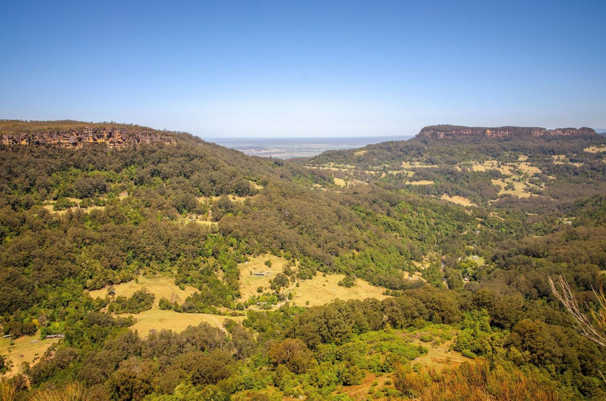
Views from Cooks Nose walking track. Photo: John Spencer/DCCEEW.
Cooks Nose Walking Track (Barren Grounds Nature Reserve)
Distance: 8 km return
Time: 2.5-3.5 hours
Grade: Medium-hard
To get there: Cooks Nose walking track is at the northern end of Barren Grounds Nature Reserve and starts from the Barren Grounds picnic area.
The walking track out to Cooks Nose is well marked and steep in places, but the views at the end are spectacular. The track wanders through open expanses of heathland, and there are plenty of birdwatching opportunities. You might see eagles riding the thermal air currents above Kangaroo Valley or a group of black cockatoos. Relax for a while, take in the views looking out from the top of the escarpment, or head back to Barren Grounds picnic area or nearby Robertson for a warm lunch.
READ ALSO: Seven Mile Beach once a popular racetrack for drivers keen to make history
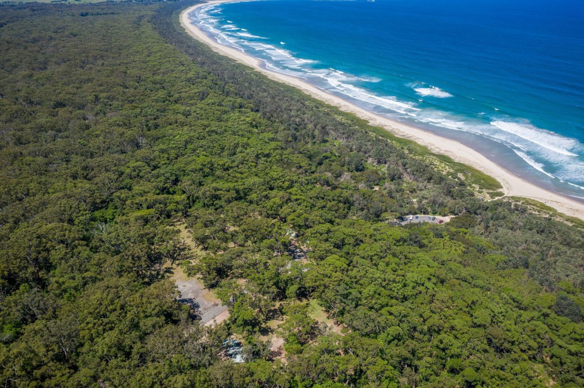
Beach Road picnic area in the Seven Mile Beach National Park. Pic: John Spencer/DCCEEW.
Seven Mile Beach National Park – sand track (north)
Distance: 3 km one way
Time: 2.5- 3.5 hours
Grade: Hard
To get there: Park at Gerroa’s Beach Road Picnic area. The track begins at the northern end of the picnic area near the toilet block, where you’ll see a small sign at the edge of the bush.
This short walk allows you to experience both the unique forests and stunning golden stretch of beach that make up Seven Mile Beach National Park. It meanders north towards Gerroa picnic area through dune blackbutt, bangalay forests and littoral rainforest. There are plenty of birdwatching opportunities along the walk – look out for thornbills, wrens, honeyeaters and the brown cuckoo dove. Enjoy the return walk along the golden beach.
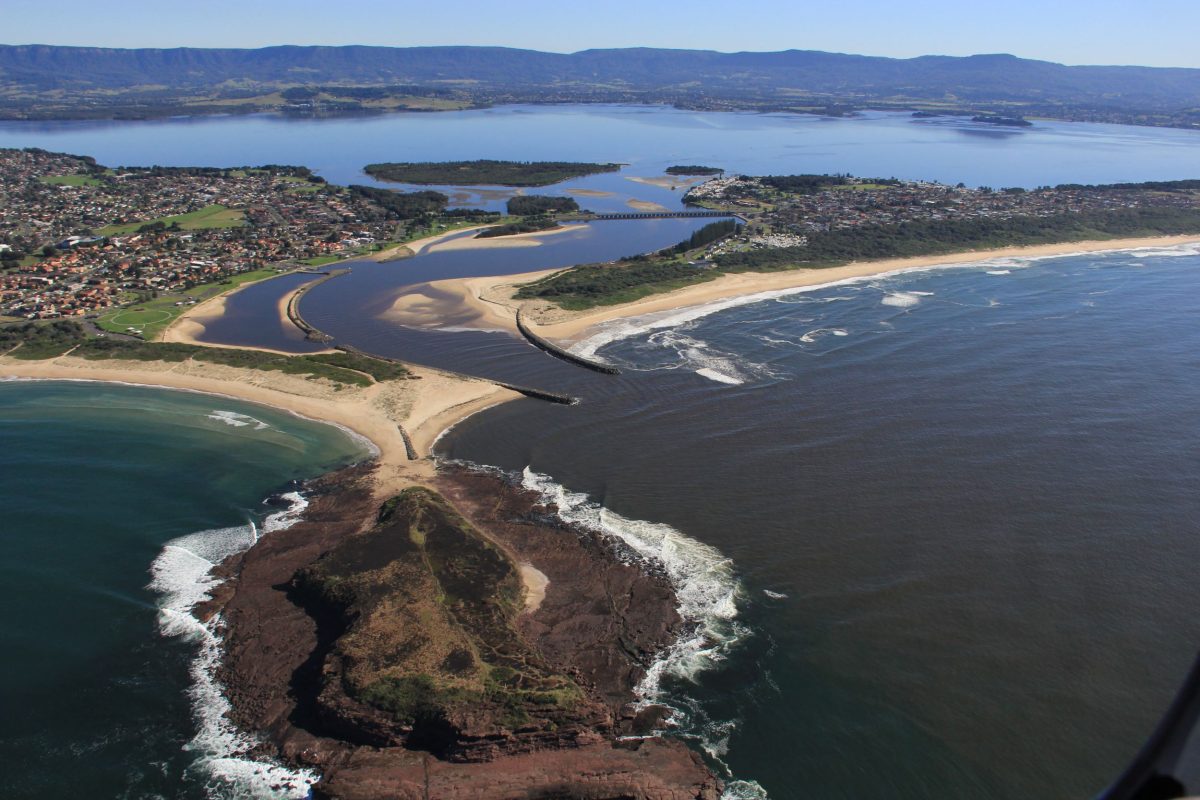
Lake Illawarra and Windang Island. Photo: Discover Shellharbour.
Shellharbour
Windang, Picnic Islands and Lake Illawarra
Length: Up to 4 km return
Time: Up to 2 hours
Grade: Easy
To get there: Car parking in Reddall Parade, off Shellharbour Road
This walk is an easy waterside stroll and is a popular beachside destination for families, fishermen and bird observers. In the parkland reserve to the southwest of Windang bridge, cross the small timber foot bridge to Picnic Island and walk the sandy loop track through banksia woodland. On return from the island, follow the lake shore east and walk under the Windang bridge to the main area of Reddall Reserve. The shallow arm of the lake here is safe for children to paddle. Continue to the far eastern end of the pathway then go left and walk along the breakwater to Windang Island. Take care with access to the island on high tides and be aware of dangerous waves on rock platforms. You can climb the narrow track to the top of the island and enjoy the views along the coastline and west to the Illawarra Escarpment.
READ ALSO: The Farm named Australia’s second-best beach – the only surprise is it’s not No. 1
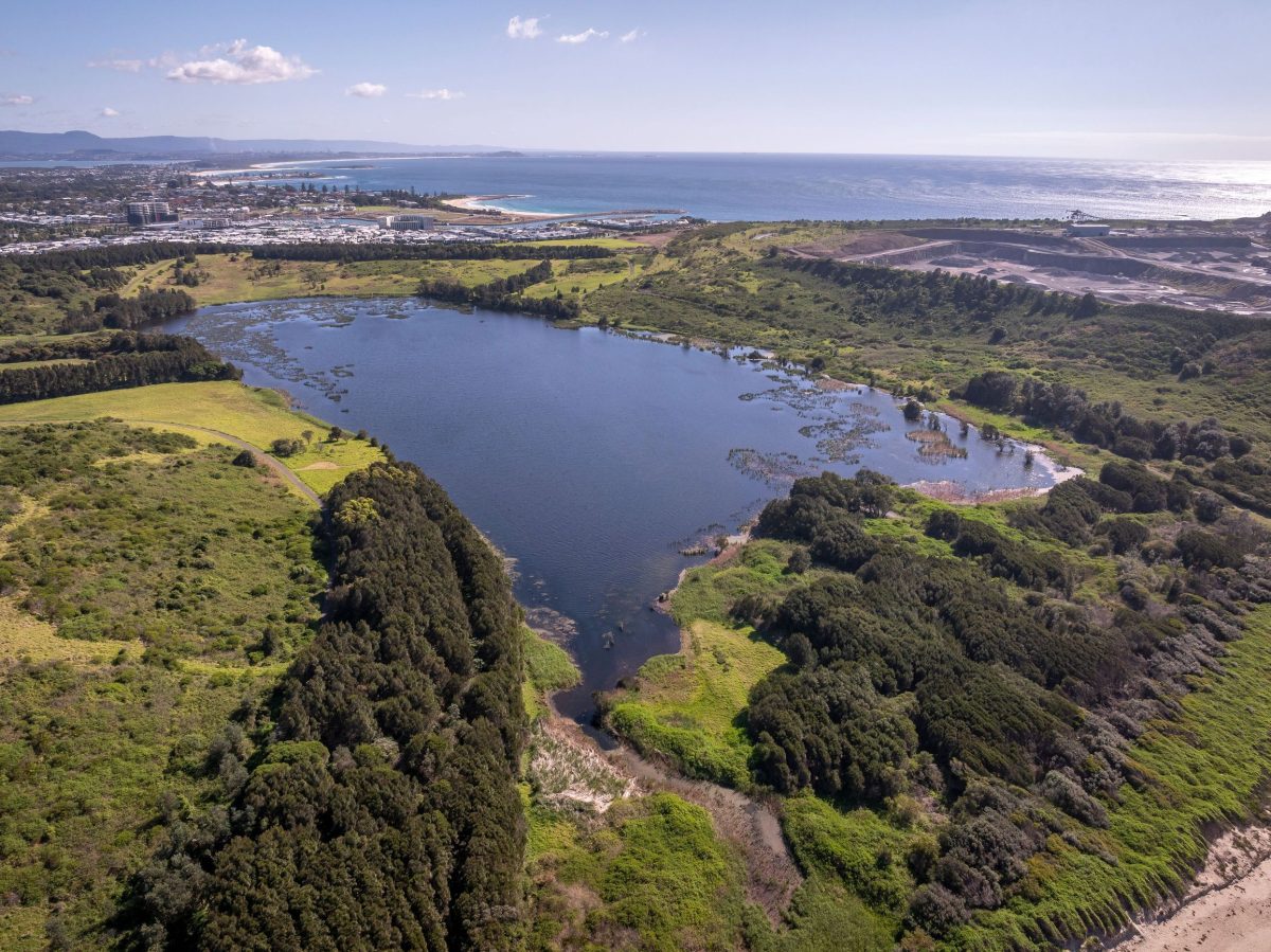
The lagoon in Killalea Regional Park. Photo: John Spencer/DCCEEW.
Killalea Regional Park – Lagoon Circuit
Length: 4 km
Time: 1-2 hours
Grade: Easy – family friendly, some steep steps
To get there: From Shellharbour Rd, follow the brown tourist signs to Killalea State Park, or take a 2 km walk from Shellharbour Junction train station. Park next to Killalea Kiosk.
Killalea Lagoon provides habitats for multiple fish, bird and reptile species and provided a constant source of food for Aboriginal people for thousands of years. The wetland areas have become a significant breeding ground for up to 60 species of birds and the green and gold bell frog is also known to inhabit the lagoon. You can access the lagoon via the beach steps, or head north from the kiosk towards the left of the rotunda and follow a service trail down through the forest. Follow the lagoon circuit to your left, then all the way around until arriving out onto beautiful Killalea Beach (The Farm).
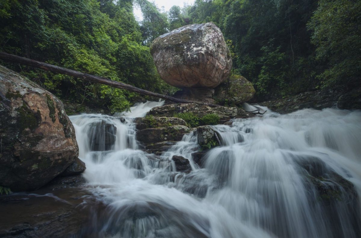
Scenic views along Clover Hill Trail in Macquarie Pass National Park. Photo: Destination NSW.
Clover Hill trail
Distance: 6 km
Time: 2-3 hours
Grade: Hard
The Clover Hill trail is an old logging route, leading to Rainbow Falls and three smaller falls upstream on the Macquarie Rivulet. After walking through the dense shade of the forest, the landscape opens up at Clover Hill. These are the paddocks cleared by farmers over a century ago. The huge rainforest trees, eucalypts, beefwood, Illawarra flame trees, cabbage tree palms and tree ferns, home to lyrebirds and goannas, give way to sunny plains where you will often see kangaroos hopping about. Highlights include a spectacular view of the escarpment, and adventurers may wish to scramble upstream at the end of the track to access Rainbow Falls.
Wollongong
Hill 60 and Port Kembla coast
Length: Up to 6 km return
Time: Up to 2.5 hours
Grade: Medium, steep sections
To get there: Corner Olympic Boulevarde and Cowper Street, Port Kembla.
Starting from the carpark near Port Kembla Swimming Pool, climb the steep grassy slope, using laneways, stairs and footpaths and continue to the lookout at the highest point on Hill 60. Follow the track down the northern side of the hill. At the bottom cross the grass clearing and walk north along the path, beach or rocks all the way to the white triangle tank trap remnants on the headland. There is a cafe at the Maritime Centre, open for breakfast and lunch from Mondays to Wednesdays.
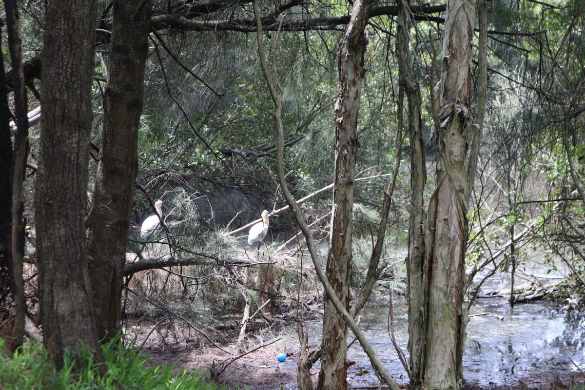
Waterfowl have made the salt marsh home at Greenhouse Park, despite the need for remediation. Photo: Eileen Mulligan.
Tom Thumb Lagoon – Wollongong Greenhouse Park
Length: 2.5 km return
Time: 1-2 hours
Grade: Easy
To get there: Park in JJ Kelly Park and enter through pedestrian entrances on Springhill Road or walk 1.4 km from Wollongong CBD.
Wollongong Greenhouse Park is just south of the Wollongong CBD, opposite the corner of Springhill Road and Bridge Street. It was formerly a 10-ha rubbish dump nestled between Port Kembla Steelworks, Springhill Road and the golf course and became a park in 1999. The land is home to many species, including the endangered green and golden bell frog. You can walk through the park and stop at the lookout deck to take in the views over the Five Islands, escarpment, golf course and heavy industry. There’s a remnant salt marsh which is an endangered ecological community.
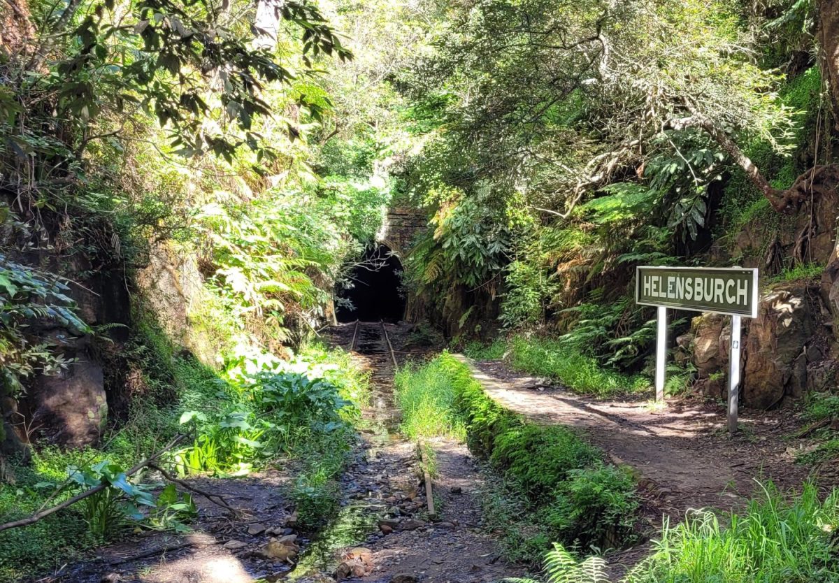
Helensburgh’s glow worm tunnel. Photo: Graeme Burrill.
Helensburgh Historic Railway and glow worm tunnel
Length: 1.25 km return
Time: 1 hour
Grade: Easy – family friendly
To get there: Travel to Helensburgh railway station, Old Station Road.
Helensburgh’s first railway station was opened on 1 January 1889 between two single line tunnels at the junction of Tunnel Road and Vera Street. The short, 80 m Helensburgh Tunnel was at the northern end of the station. From Helensburgh station, exit the main carpark and cross Tunnel Road. Follow the open passageway along an abandoned railway line passing an old Helensburgh Railway Station sign. Proceed through the tunnel, about 623 m. For safety take a torch. It can be wet and slippery so use caution and wear appropriate footwear.


