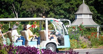
The botanical artist Marianne North at work. Photo: Supplied.
Marianne North has been described as “the pre-eminent botanical artist of the late Victorian period”.
She was among the most fortunate kinds of female – a woman of independent means and born into a highly cultured family. She thus became an intrepid traveller and was also an outstanding artist.
Marianne visited the Illawarra in the early 1880s and had a fair bit to say about the Gong and its environs.
Her words were published in 1986 as Some Recollections of a Happy Life: Marianne North in Australia and New Zealand (edited by Helen Vellacott).
Of the road (or more correctly the “butter track”) leading from Marshall Mount in the Illawarra to Kangaroo Valley, Marianne North wittily (and rather astutely) declared that: “It belonged, like the greater part of Illawarra, to the family of Osborne, who were building a large house there. It was certainly the most enticing part of Australia, and I wished I were an Osborne.”
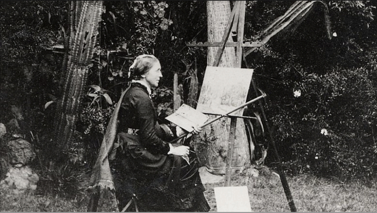
The house to which Marianne refers is Barrengarry Homestead which in the early 1880s was being substantially rebuilt by the fabulous architect Horbury Hunt.
Hunt also designed the Osborne Memorial Church at Brownsville near Dapto which, arguably, is his masterpiece – despite some very strong competition from the other 29 currently heritage-listed Horbury Hunt designed structures.
The Osborne family’s Barrengarry Homestead at Kangaroo Valley. Photo: Supplied.
As part of Marianne North’s fairly extensive remarks on Illawarra, a former editor of the Illawarra Historical Society journal remarked that “some points … are hard to explain”.
He also notes that in Marianne North’s A Happy Life, Helen Vellacott remarks that “one Illawarra location – Doondale – has so far defied all efforts to identify it”.
But, despite me originally thinking that Doondale might be an area near Broker’s Nose at Corrimal, I think I now know where it was located.
Marianne North describes it thus: “The garden at Doondale was a sight to see: pink and white azalea indica fit for London shows, bougainvillea with three yellow blooms at once in their purple bracts, flame trees, gorgeous Cape lilies and all our home flowers in perfection. I was offered the loan of this lovely house for a month, when they were all going to another house on the cooler side of the hills [ie Kangaroo Valley].”
A breakthrough, however, came when I discovered that Doondale was the residence of Frederick W Osborne, a son of William Osborne of Garden Hill Wollongong, near today’s Wollongong Hospital and grandson of the well-known Dr John W Osborne, who was the brother of the even more famous and super-rich Henry Osborne of Marshall Mount.
But the question was, of course, where in the Illawarra might Frederick Osborne’s Doondale be located?

The view from near 29 Grayleigh Drive Kiama in 2021 and (right) Marianne North’s depiction of the view from Doondale in the 1880s. Photo: Supplied.
Young Fred Osborne, born in 1857 and later an inspector for the Commercial Bank, had married Hannah Martha Gray in 1856 and they had a son born at “Doondale Illawarra” on 12 June 1869.
Hannah was the daughter of Lieutenant James Mackey Gray, of the Omega Retreat, a property of some 1280 acres (518 ha) he had purchased in 1835 and today known as Gerringong.
Thus looking once again at Marianne North’s artistic depiction of Doondale, I began to think that Doondale would be unlikely to be anywhere near Corrimal and the escarpment peak known as Broker’s Nose.
And it was the connection with the Gray family that reminded me of another peak (somewhat similar to Broker’s Nose) on the Illawarra escarpment I had seen from Grayleigh Drive at Kiama.
So, I began to think, Doondale might well be located somewhere south of Kiama and north of Gerringong.
But, of course, with Marianne North’s being the only other reference to a place named Doondale (apart from a single published birth notice), I could hardly be certain.
Yet a quick trip down Grayleigh Drive made me a lot more confident.
My guess is that the Doondale depicted in Marianne North’s art work bears sufficient (although obviously not exact) resemblance to a location that looked west from north of today’s Grayleigh Drive at Kiama.
What do others reckon?