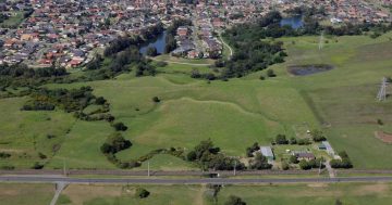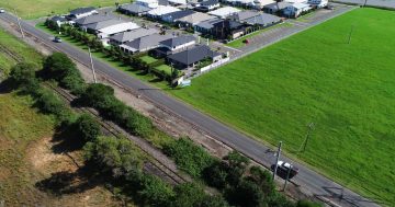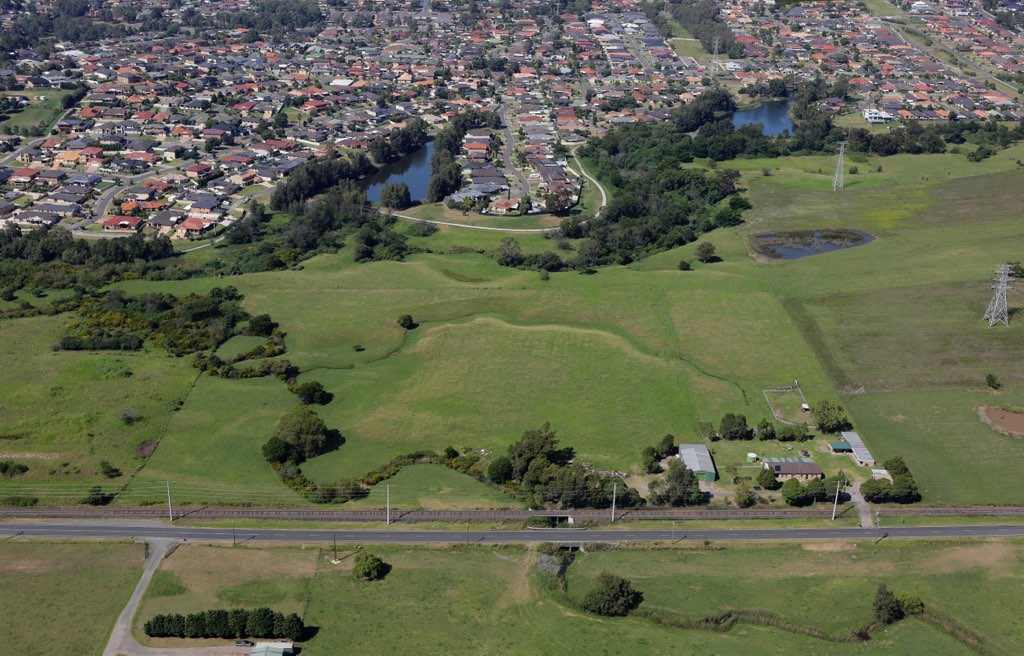
West Dapto is characterised by waterways big and small, and is slated for significant development. Photo: Andy Zakeli.
New protections for waterways in West Dapto could help protect platypus.
Evidence of the elusive animals was recently found in West Dapto waterways.
The findings were both exciting and concerning.
They’re the first piece of firm evidence backing up scattered sightings of platypus in the region over the past couple of decades, and a welcome sign of waterway health for passionate ecologists.
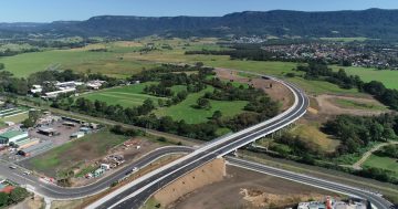
The waterways they depend on however, run through an area that’s earmarked for one of the largest developments in NSW over coming years.
Construction and the associated disruption to riverbanks, crucial connections between different waterways and pollution from run-off are some of the biggest threats to platypus in NSW.
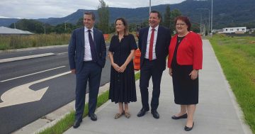
A new riverbank management strategy for the West Dapto Urban Release Area has been endorsed by Wollongong City Council.
Among other recommendations it calls for a vegetated zone of between 20 and 40 metres around larger watercourses.
It also requires an additional protected buffer of 10 metres of vegetation, including for creeks and smaller streams.
The buffers are there to help reduce invasive species, support waterway health and the species that rely on it such as platypus, frogs, and turtles, and to reduce the damage caused by floods.
According to platypus expert at the University of NSW, Dr Gilad Bino, a buffer of 20 metres is enough to protect platypus habitat.
“Platypus don’t just rely on the waterways but the riverbanks in that riparian zone,” he said.
“They need to dig burrows for resting and nesting, and they need trees to stabilise the banks and reduce soil running off into the water.
“The construction phase of development can have a big impact on soil in the waterways; we recommend a 20-metre buffer from the riverbank to maintain that zone.”
Others, however, felt the buffers were excessive and could reduce housing yield and increase development costs, according to council documents.
Councillor Tiana Myers said she grew up in West Dapto, and good waterway management was key to the success of any development in the area, apart from environmental concerns.
“Building too close to waterways leads to greater flood risk, erosion and environmental decline,” she said.
“There were days I couldn’t get to school because I was stuck on the wrong side of a flooded road.
“The floods also made it difficult for emergency services … everyone in our community needs unimpeded access to care.
“This strategy gives us the contemporary, accurate mapping and clear forward guidance we need as West Dapto continues to grow.
“Development doesn’t replace natural systems, it needs to work with them.”
The strategy was unanimously adopted by the council and can be read here.