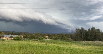
Wet weather is ahead across the Illawarra starting on Thursday (15 January). Photo: Jen White.
The Illawarra has a wet weekend ahead, but rumours of 400 mm of rainfall may be overselling it a bit, according to a senior meteorologist at the Bureau of Meteorology.
Angus Hines said the region could probably expect to see about 100 mm spread across Thursday, Friday, Saturday and Sunday.
Some isolated areas might get a bit more, especially if a big thunderstorm rolls through.
“There will be a constant stream of showery weather from Thursday across the entire Illawarra over the weekend,” said Angus.
“We’re predicting consistent onshore winds, cloudy skies and mild temperatures.
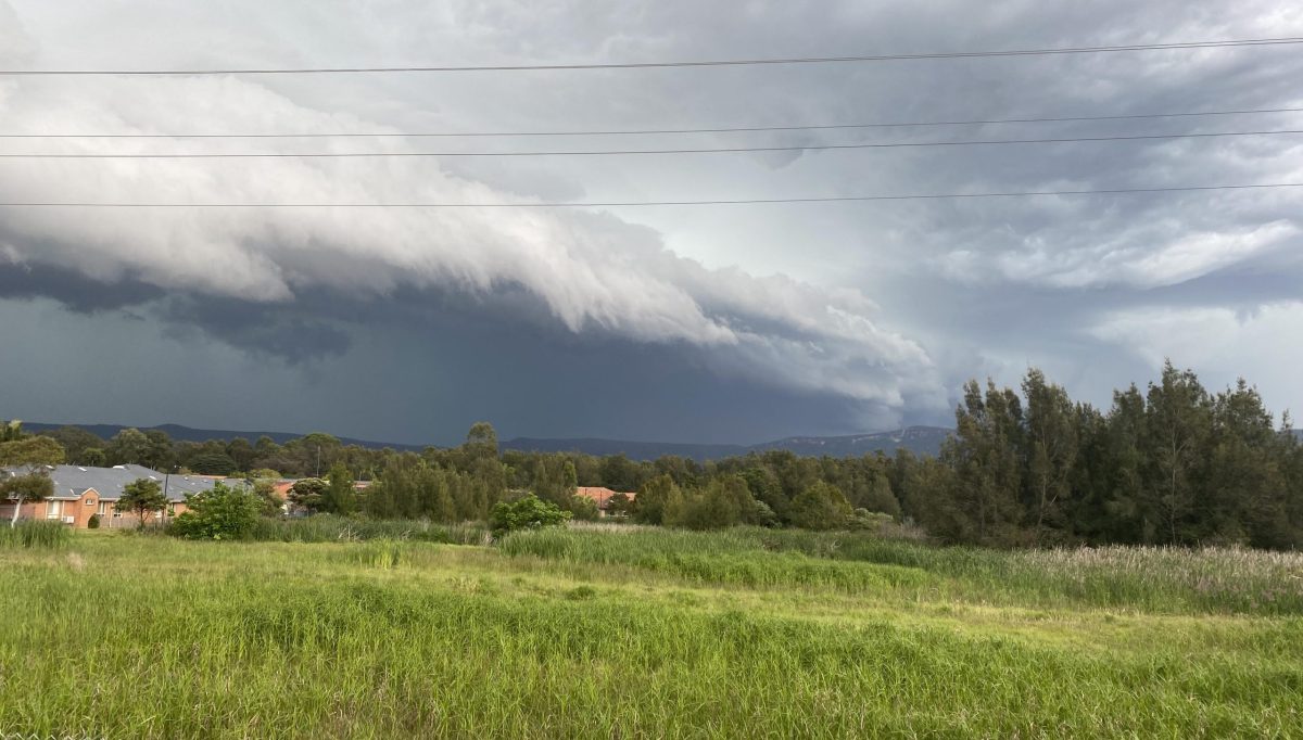
“The risk of thunderstorms increases on Thursday and that could bring severe heavy rainfall leading to areas of flooding, damaging winds or large hailstones.
“Thursday is forecast to be the most active day, but more rainfall is predicted for Saturday.”
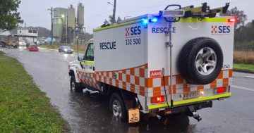
There are no warnings for dangerous weather in place at the moment, although that may change as the weekend approaches and more accurate forecasts are possible.
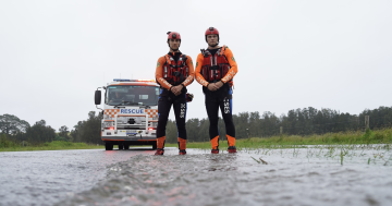
Angus said it was worth keeping an eye out for any weather warnings and to watch the SES page for serious incidents.
As always, ahead of a thunderstorm it’s worth being prepared for a power outage, so make sure you’re well-stocked with torches, batteries and some shelf-stable food and snacks.
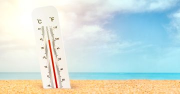
If you’re feeling whiplash after a sweating through temperatures over 42 degrees on Saturday, you’re not alone.
The cool change may provide some relief from the heat – especially for our native wildlife – but it’s unlikely to stick around, so don’t pack away the aircon just yet.
“Every summer brings swings in the weather in different frequencies and intensities,” Angus said.
“I would certainly expect some more hot weather after this around the end of January into February, with the potential for heatwaves to pick back up again.”