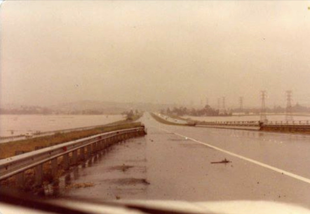
Looking towards Dapto from Berkeley during the floods of 1984. Photo: John Gill, Dapto History in Photos.
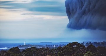
Very few Illawarra residents seem to be aware that the Illawarra holds the record for the most rainfall ever to have been recorded in NSW in just one 12-hour period.
This happened in 1984 when a truly remarkable 717 millimetres rainfall was officially recorded as having fallen at Wongawilli.
That’s the kind of rainfall that would be exceedingly rare even in the tropics. So extreme is 717 mm in 12 hours that it is claimed that if it had fallen some 20 km north then Warragamba Dam may well have collapsed.
The earliest detailed written first-hand record of an Illawarra flood took place on what was then known as Spearing’s Paulsgrove Estate – a considerable acreage comprising all of today’s University of Wollongong, south through the Botanic Garden and onwards to West Wollongong.
On 19 December 1833, that flood “carried away Mr Spearing’s water mill, part of the garden, and swept the growing crops, and washed the surface of the soil entirely away, enlarging in many cases the course of the river to three times its original width”.
This may have been an unusually localised rain/storm event and it seemed so odd to Mr Spearing that he opined, possibly incorrectly, that it might have been some kind of near stationary continuous waterspout.
Despite this it was soon reported that by early January 1834 “the whole of the bridges were swept away, and many of the settlers in the lower part of the Illawarra district were washed away, houses and all, and the whole of their wheat that remained cut in the fields, was also carried into the sea”.
An earlier news report contended, too optimistically, that while in October 1830 heavy rains continued to the middle of November and prevented the settlers from planting, there was “nothing to dread from the fear of floods, as a lagoon called Tom Thumb receives the contents of the streams in the principal parts of the district, and again discharges itself into the ocean; yet, as Illawarra lies low, the land was too wet to receive the seed in any reasonable time”.
Another Illawarra flood in late April 1867 only fully subsided in the first days of May that year but another “severe tempest” then erupted on 6 May.
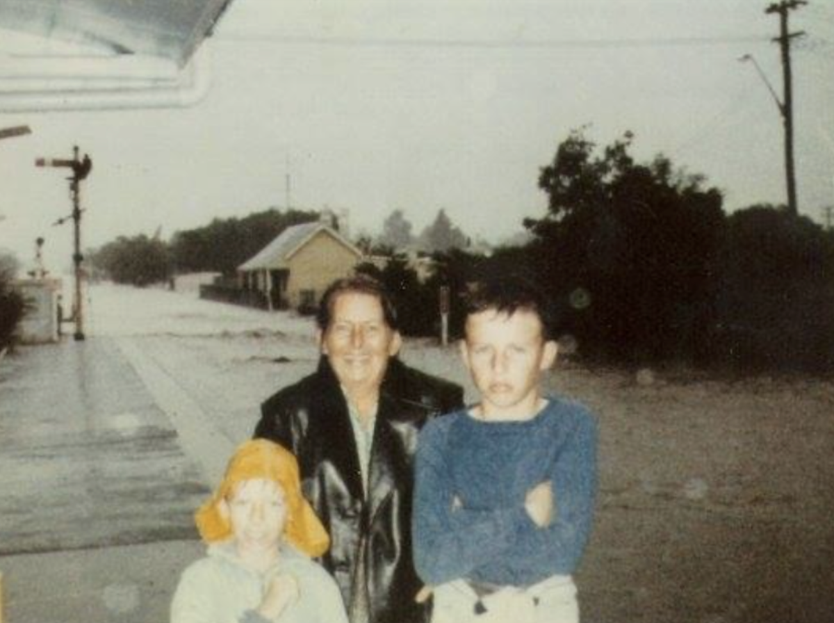
The South Coast rail line was more of a river at Dapto Station during the February 1984 flood. Photo: Steven Sharrock, Dapto History in Photos.
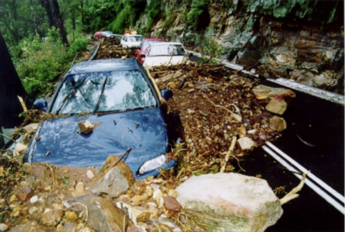
Bulli Pass in the early morning of 18 August 1998 during the flood/storm event. Numerous cars were trapped in the debris of a rockfall. Photo: NSW SES.
My own clear memories of flood events go back to the 1974 event. So much fast-flowing water cut deep through the beach and made walking from Thirroul to Sandon Point impossible for surfers.
Many living beside creeks in Northern Illawarra, however, had their property inundated in that 1974 event – as has happened many times since.
Because I was then so shocked at how powerful flood-water could be, it led me to researching all the previously recorded major flood/storm events in Thirroul: 1867, 1878, 1879, 1898, 1922, 1932, 1950, 1974, 1988, 1998, 2011, 2014, 2016, 2022, 2023 and the most recent in April 2024.
The terrible 1988 event resulted in the Coledale mudslide tragedy when a mother and child were engulfed as a railway embankment collapsed on their house. That mother had been a classmate of mine at Bulli High School.
Greater loss of life occurred in the 1898 storm which saw the wreck of the brig Amy off Thirroul Beach with the drowning of the entire crew. The worst Thirroul event in terms of landslip was in 1950 when houses at the top of Seafoam Avenue went crashing down the hill. The 1974 rains also saw landslip threaten Bulli’s George’s Avenue.
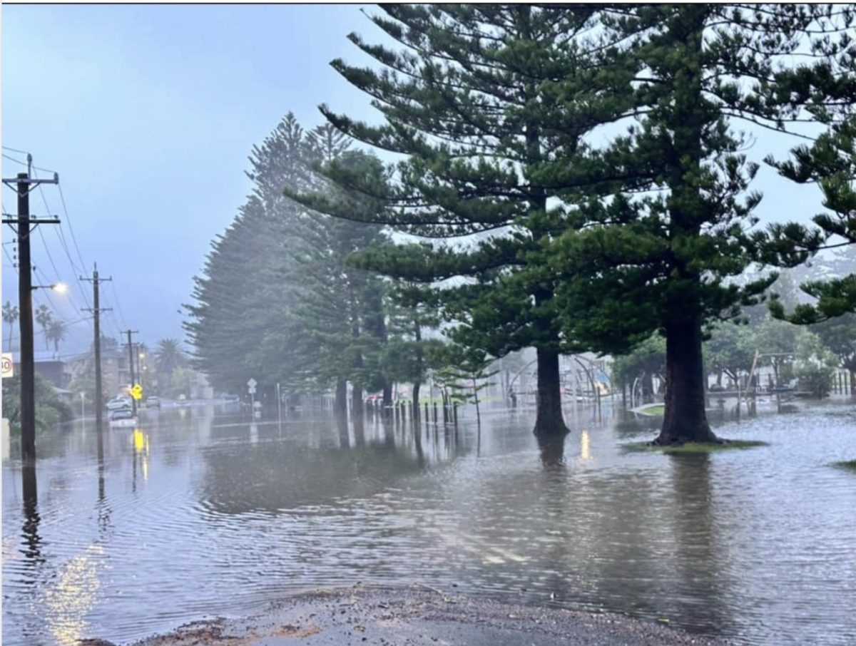
Cliff Parade Thirroul on the morning of 6 April 2024. Photo: Nara Upenieks.
Further south in the Illawarra, houses bordering Dapto Creek, Mullet Creek, Macquarie Rivulet and Lake Illawarra at Windang were severely impacted in both the 1974 and 1998 events. Bong Bong Road at Dapto is also particularly notorious for going under during just about any very heavy rain event.
Illawarra’s problem is that the southern sections have sufficient distance between the sea and the escarpment for seemingly small watercourses – mostly creeks but also Macquarie Rivulet which the name implies is almost a river – to regularly burst their banks.
But prior to 1788 both Lake Illawarra and Tom Thumb Lagoon near Wollongong provided natural water detention basins with no development surrounding them so that overflow was of little concern.
In the northern Illawarra, however, the proximity of the escarpment to the sea can function like a giant funnel that channels very large amounts of water down into what in dry seasons are tiny creeks which, in places, form a single watercourse that then easily bursts its banks.
There is not much solution for these hard facts of geography – except to not build habitations near what in dry seasons can often seem small and charming watercourses.
Unfortunately, before Illawarra residents had running water supplied to their dwellings, it was often thought to be an advantage to locate one’s house near a watercourse. Although such houses may have been positioned at distances which looked safe in dry seasons, unexpectedly what was formerly dry land soon proved capable of transforming into raging floodwater during major rain/storm events.
Floodwater is like the weather – you can’t change it, but you can sometimes choose your response to it.