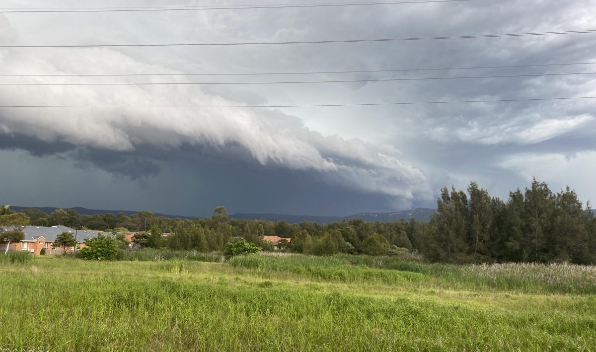
Heavy rainfall is forecast to strike the Illawarra from Friday (3 May) until Sunday (5 May). Photo: Jen White.
More heavy weather is on the way and emergency services have urged everyone to prepare now.
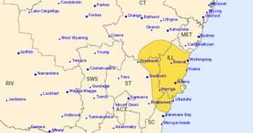
The Bureau of Meteorology is forecasting isolated heavy rainfall for the Illawarra, Central Coast, Sydney and Hunter regions, with a risk of localised flash flooding, particularly on Sunday 5 May.
Wollongong City Council will distribute sand for flood protection from 9 am today (2 May) at Bellambi Boat Ramp Overflow car park, Fairy Meadow Beach car park, Fred Finch Park car park and Rex Jackson Oval, Walker Street, Helensburgh.
Remember to bring your own bags (if you don’t have hessian bags, the supermarket “green” bags do the trick) and a shovel.
Inland, a deepening trough is expected to bring showers and isolated thunderstorms to the far west from today (2 May).
In the Alpine regions, snow showers are expected on peaks above 1700 metres.
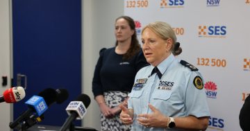
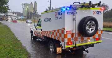
NSW SES Acting Assistant Commissioner Allison Flaxman said volunteers, assets and flood rescue operators were ready and able to respond to any bad weather across NSW.
“We’re working closely with the Bureau of Meteorology and are monitoring conditions across the state,” Assistant Commissioner Flaxman said.
“Isolated rainfall in excess of 100 millimetres in some coastal areas is not out of the question, but we are well positioned to respond to any calls for assistance.”
Floodwaters from previous rain over inland Queensland are continuing to gradually flow through NSW catchments, adding to the likelihood of flooding.
Assistant Commissioner Flaxman encouraged people to download the Hazards Near Me app to stay informed about flood or storm alerts and prepare for weather impacts.
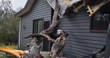
“People can prepare their homes now by clearing their gutters and securing any loose outdoor items, so they don’t become projectiles in a storm,” she said.
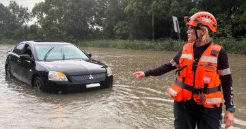
“I also encourage anyone who may come across flash flooding to stop, turn around and find an alternate route. Driving, walking or riding through floodwater is not worth the risk.”


