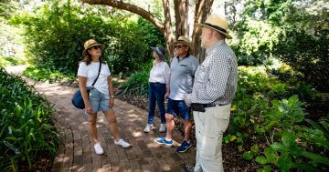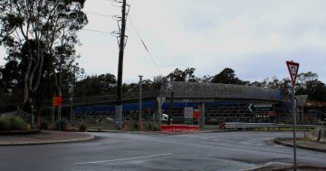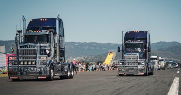
Truck drivers who are unfamiliar with the Mt Ousley descent will benefit from local knowledge found in a new resource. Photo: NTARC.
An Illawarra trucking company is supporting other heavy vehicle drivers to navigate the region’s key freight corridor by sharing local knowledge as part of a new resource to reduce risk on Mount Ousley.
Ross Transport drivers manage the difficulties of the Mount Ousley descent every day and know first-hand how challenging the road can be.
“It’s very tricky; we’ve seen some accidents in the past which have been quite bad and then others that could’ve been quite bad,” Ross Transport Business Manager True Ross-Sawrey said.
“I’d be lying if I said we hadn’t had near misses in our time as well; thankfully we’ve never had a bad accident.”
Extensive experience and training and resources provided by the company help drivers tackle the key connection as safely as possible, but for those less familiar with the area, a simple misjudgement could have serious consequences.
“You don’t really realise until it’s probably too late; if you’re not in the right gear the truck can get away from you very very quickly and then it can be quite hard to change gears especially for an inexperienced driver,” True said.
“If you miss a gear or if you run your brakes too hot and they give way or lock up or whatever they may do, you can kill someone.
“That road is very busy and it has a lot of cars, a lot of trucks, a lot of buses and the merging lanes are not fantastic so if for some reason the truck starts going at an uncontrollable speed, especially a fully loaded one, it can be very, very dangerous.”
Heavy vehicle speeds can’t be controlled during steep descents just by using a conventional brake, so additional systems and measures are required to ensure safe driving.
“It gets to the point very quickly where if you try to just use the foot brake to slow the vehicle, the brakes will overheat and eventually they will stop working and the vehicle will run away,” NTI Transport Research Manager and National Truck Accident Research Centre (NTARC) team member Adam Gibson said.
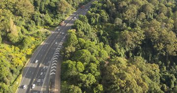
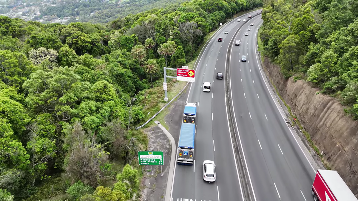
Drivers can access a video or an information sheet to better understand the road. Image: NTARC.
“At that point there’s safety ramps to use but once the brakes have overheated and failed, there’s nothing left you have up your sleeve; there’s no parachute or secondary system.
“Protecting the braking system becomes the art of driving down steep hills.”
Australian road rules state that heavy vehicles are required to use a low gear in steep areas as indicated by signs, like those on Mount Ousley, but knowing exactly what gear is low enough can just be guesswork if you aren’t aware of what’s ahead.
“The fact you should select the right gear but the only way you can work out currently what the right gear is is to take a guess and drive down and hope that you guessed correctly is problematic,” Adam said.
“It’s very hard to manage risk which is hidden or is at least not made fully visible to you.”
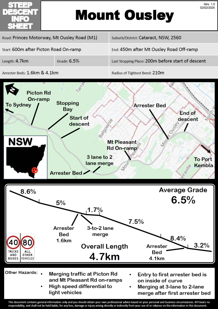
NTARC selected Mount Ousley as the state’s first corridor to be addressed as part of a resource program to help inform drivers of the descent and hazards before they reach the area.
Partnering with Ross Transport, they’re sharing local knowledge to prepare drivers of all experience levels, with a new video and information sheet released detailing the area.
“The drivers that are doing it every single day, they know how they should be driving, they know what gear they should be in, they know how dangerous it is, they know where the merging lanes are and when you should start to merge, they know where the higher risks or the higher hazards are,” True said.
“The more we can get it out there, not just for Mount Ousley but all the NTRC does, the better, because if someone is coming to an unfamiliar region it’s a one-stop shop to be able to watch a video and then get a PDF document on how steep the grade is and can essentially help them understand and potentially avoid an incident from occurring.”
NTARC is now working on similar resources across other key areas, with a comparison tool for roads that have similar descents also in the works.
“Hopefully that just keeps that economic activity moving, keeps the heartland of the Illawarra pumping money into the rest of the economy as safely as we can and we can get everyone home safe at the end of the day,” Adam said.
To find out more about the steep descents resource or NTARC, visit the National Road Safety Partnership Program website.