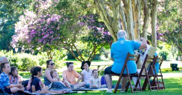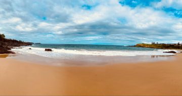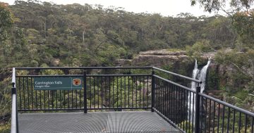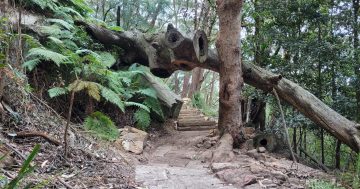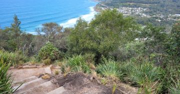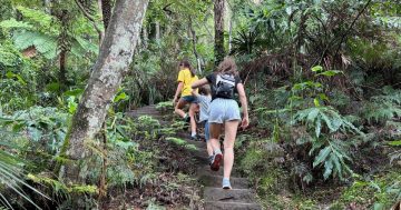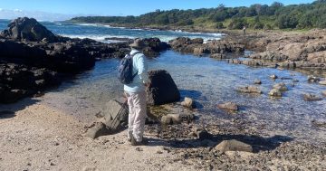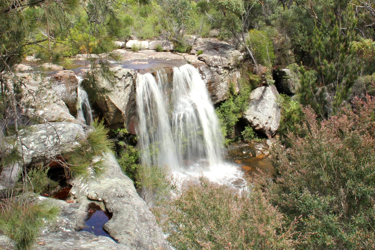
A beautiful waterfall along the Maddens Falls Walk in the Darkes Forest Road area. Photo: John Yurasek/DPE.
Spring has sprung and now is a perfect time to gear up and head out to enjoy the Illawarra’s great outdoors.
There are any number of great bushwalks suitable for everyone from beginners to the more hardcore fans, from the bush to the beach. And the best thing is most of the walks are free.
We’ve compiled a list of ‘taster trails’ to help you decide where you’d like to start exploring. For more comprehensive information and more bushwalk suggestions, the best place to look is the National Parks Association (NPA) Illawarra website. You can access lists of walks around the region and details on length, estimated travel time and difficulty level.
If you are new to bushwalking, check out this handy bushwalking for beginners guide from NPA.
Branch president Graham Burgess suggests walkers should check to make sure their chosen walk is open before heading out, particularly while work is continuing on the Great Southern Walk in the northern Illawarra.
The NSW National Parks and Wildlife Service website is another valuable guide for bushwalkers, including information on any park closures or weather alerts.
National Parks offers these safe walking tips:
- Research your walk and make sure everyone is comfortable with the planned route.
- Go at the pace of the slowest person and don’t overestimate your abilities.
- Walk in groups of three or more people. In an emergency one of you might need to wait with the injured person while the other gets help.
- Check weather forecasts and park alerts and be aware that weather conditions can change rapidly.
- Tell your family or friends where you’re going, when you expect to return and who is with you. They can contact NSW Police if you don’t return on time.
- Take plenty of snacks and water, about two litres per person, and a bag for rubbish.
- Use sunscreen, wear a hat and suitable clothing and take insect repellent.
- Download the NSW National Parks app for location and emergency services information.
Now that you’re ready to head out, check out these walks (with thanks to NPA Illawarra).
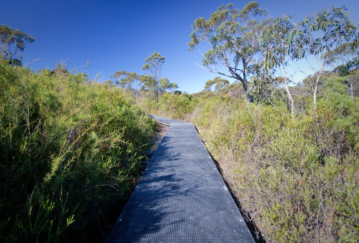
A boardwalk heading towards the waterfall in Dharawal National Park. Photo: Nick Cubbin/DPE.
1. Maddens Falls – Dharawal National Park
This lovely walk starts from a signposted car park on the southern side of Darkes Forest Rd. The walk goes down a slight hill and onto a boardwalk near Maddens Creek. At the end of the track is a viewing platform and seat from which you can enjoy the natural surroundings, including a 10 m waterfall.
Length: 800 m
Return time: 30 minutes
Grade: Easy – family friendly
Access: Darkes Forest Rd, 2.6 km from Old Princes Highway, Maddens Plains
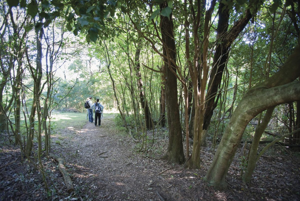
Bushwalkers on the Mt Keira track. Photo: Nick Cubbin/DPE.
2. Mt Keira tracks – Ken Ausburn Track
This track is dedicated to the memory of the late Dr Ken Ausburn, the first head of physics at the University of Wollongong, who had a great love of the Illawarra Escarpment. The track starts at the corner of Robsons Rd and Northfields Ave, just west of the University and Botanic Garden, and passes a couple of lookout points, the Lawrence Hargrave memorial sculpture and some mining relics. At a junction with the Mt Keira Ring Track, return down the hill or turn south on the Ring Track towards Byarong Park.
Length: 1.6 km one way
Time: 30 minutes one way
Grade: Hard – steep sections.
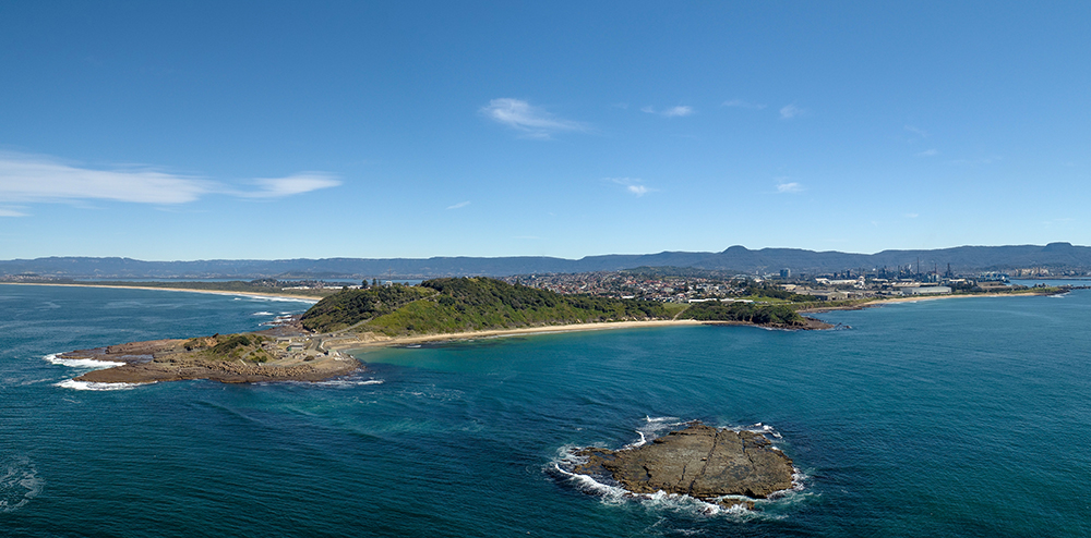
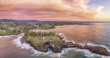
An aerial view of Hill 60 at Port Kembla. Photo: Wollongong City Council.
3. Hill 60 and Port Kembla coast
Starting from the car park near Port Kembla Swimming Pool, climb the steep grassy slope using laneways, stairs and footpaths and continue to the lookout at the highest point on Hill 60. After taking in the wonderful views, follow the track down the northern side of the hill. At the bottom cross the grass clearing and walk north via the path, beach or rocks all the way to the headland. This is the Breakwater Battery Museum and just beyond, there is a cafe under the harbour pilot station.
Length: Up to 6 km return
Time: Up to 2.5 hours
Grade: Medium – steep sections
Access: Corner Olympic Blvd and Cowper St, Port Kembla.
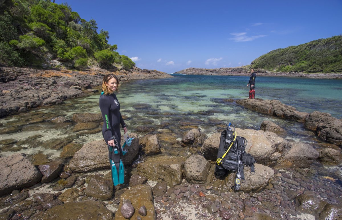
Bushrangers Bay, Shellharbour. Photo: Destination NSW.
4. Bass Point Reserve
Starting from either Shell Cove Marina southern breakwater or at the stone gateway entrance to Bass Point Reserve, this walk combines a variety of beach, track and rocky terrain. From Shell Cove marina across a grassy coastal section, it goes past the disused ship loader to arrive at Bass Point Reserve. There is a coastal track starting from the boat ramp or alternatively the stone entrance gateway. Follow the track and rocky sections all the way through the picnic area and around the point to Bushrangers Bay, which is a great area for divers and snorkelers as it has deep, clear water and abundant marine life in a sheltered environment.
Length: Just a stroll from the Bass Pt picnic area or up to 7 km
Time: Up to three hours
Grade: Easy to medium – some rock hopping
Access: Drive from Shell Cove on Harbour Blvd.
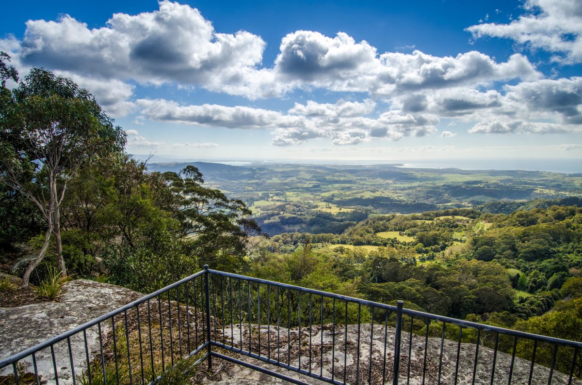
Barren Grounds Nature Reserve Spectacular views from Barren Grounds Nature Reserve. Photo: John Spencer/DPE.
5. Barren Grounds Nature Reserve (Illawarra Lookout)
Adjacent to Budderoo National Park, Barren Grounds is one of the few large areas of heathland on the South Coast as well as stands of rainforest along the escarpment edge. These varied habitats are home to rare or endangered plants and animals including the ground parrot, eastern bristlebird and ger quoll. Barren Grounds offers short and long walks on well-formed tracks which are stunning in spring when many of the heath flowers such as boronia, epacris and waratah, are in full bloom. The Griffiths Trail starts from the eastern side of the Barren Grounds picnic area car park. After about 1km walking through forest and heath take a short path on the left to Illawarra Lookout, which offers expansive views along the coast to Lake Illawarra and beyond.
Length: 2 km return
Time: one hour
Grade: Easy
Access: Barren Grounds picnic area is 1 km off Jamberoo Mountain Road, turn south at the top of Jamberoo Mountain.
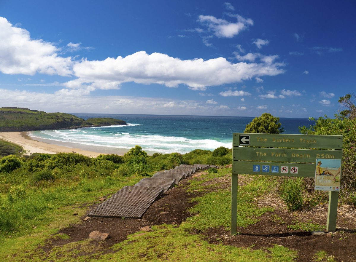
The Surfers Track to the Farm Beach at Killalea. Photo: Mark Fitzpatrick/ Destination NSW.
6. Killalea Regional Park – Lagoon Circuit
Killalea Lagoon is a freshwater coastal lagoon and an important breeding habitat for many birds. After parking next to the Killalea kiosk there are several ways to access the lagoon: via the beach steps, or alternatively, head north from the kiosk towards the left of the rotunda and then follow a service trail down through the forest. Follow the lagoon circuit to your left, then all the way around to the beautiful Killalea Beach (The Farm), famous for its surf. At the western end of the beach you will find the stairway up to the car park.
Length: 4 km
Time: one to two hours
Grade: Easy – family friendly, some steep steps
Access: Exit the Princess Hwy south of Albion Park Rail onto Shellharbour Rd then follow the tourist signs to Killalea State Park, or take a 2km walk from Shellharbour Junction train station.
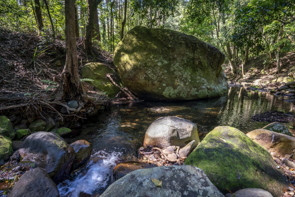
Cascades walk, Macquarie Pass National Park. Photo: John Spencer/DPE.
7. Macquarie Pass National Park – Cascades
At the base of the Macquarie Pass and at the edge of the National Park is a delightful family-friendly walk to a cascading waterfall. The parking area is on the northern side of the Illawarra Highway where there is also an open grass area perfect for a picnic. There is a sign near a track head where the walk begins to follow the creek to the west. As you approach the Cascades there is a raised boardwalk from where you can see down to a pool which is fed by the waterfall, then a stairway descends to the edge of the pool where swimming is possible.
Length: 3 km return
Time: one hour return
Grade: Easy
Access: Drive west on the Illawarra Hwy from Albion Park township to the base of Macquarie Pass.
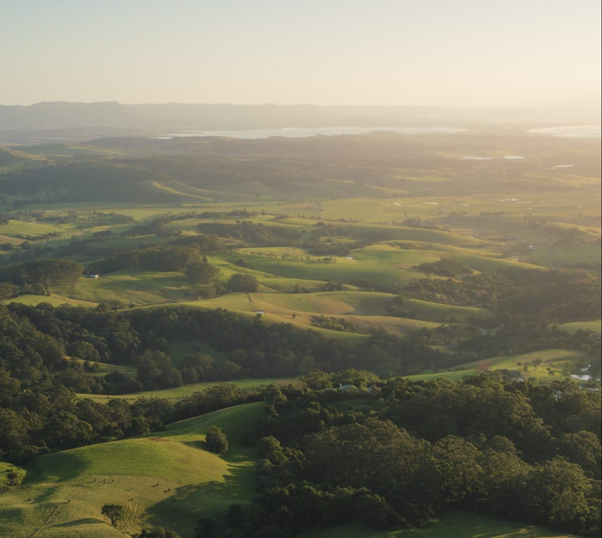
Scenic views over the countryside from Saddleback Mountain Lookout, Kiama. Photo: Destination NSW.
8. Saddleback Mountain lookouts and Hoddles Track
Saddleback Mountain provides a wonderful opportunity to see views in all directions. The series of three lookouts are connected by walking tracks and there are picnic tables at various places. For the more energetic, Hoddles Track begins as a fire trail near the western lookout and steeply descends to a saddle then rises again to the escarpment proper where you enter the rainforest.
Length: 1 to 9km
Time: 30 minutes to four hours
Grade: Easy to hard. Lookouts are family-friendly, two of them are wheelchair friendly
Access: Saddleback Mountain Road, west from Kiama.
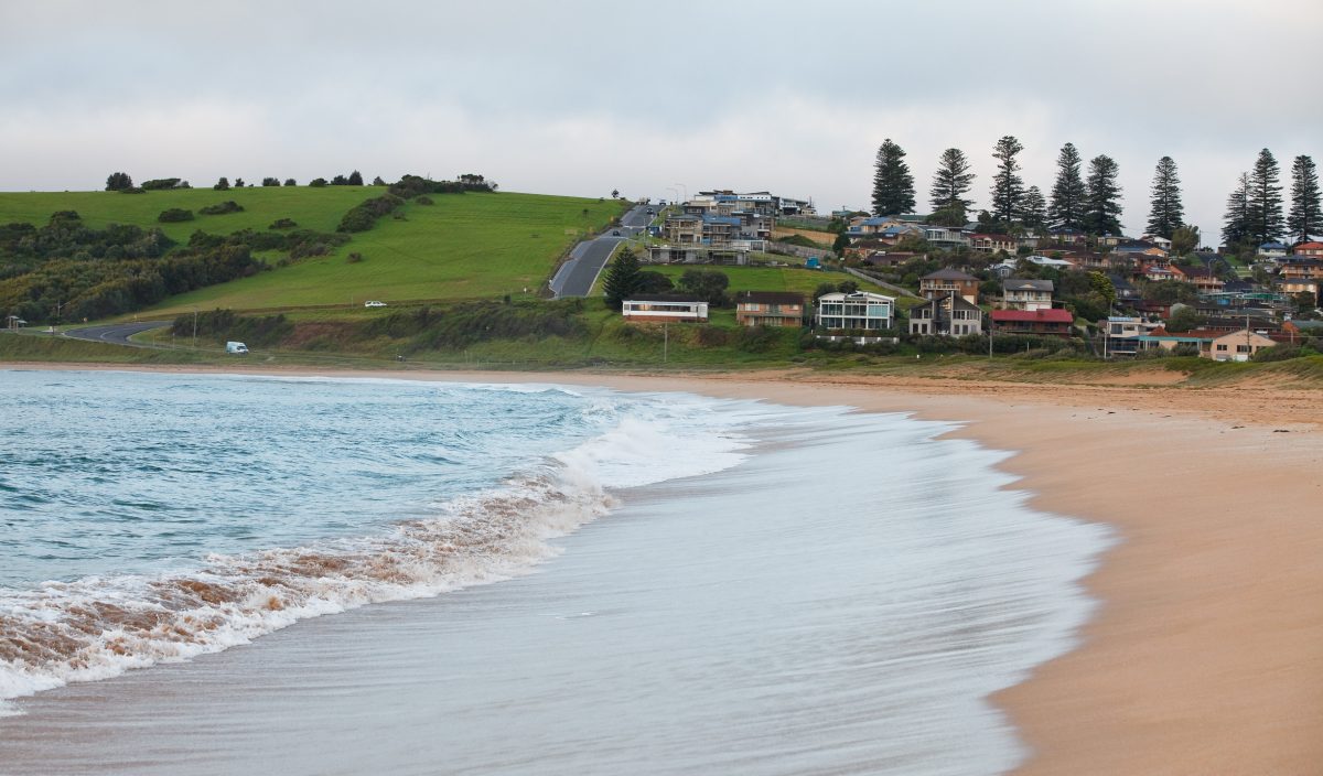
This walk takes you right along the coastline, including Gerringong beach. Photo: James Horan; Destination NSW.
9. Kiama Coast Walk – Gerringong Station to Kiama Station section
This iconic coastal walk starts at Gerringong Railway Station and takes in vast coastal and ocean views. Begin by walking the lowest-lying streets and some short-cut laneways toward the north-east from the station car park for a distance of 3 km until reaching the northern end of Werri Beach and lagoon. Be aware the lagoon ocean entrance is not always crossable so it’s wise to check with Kiama tourist office (1300 654262) for the latest conditions. Follow the coast track for 6 km until reaching Loves Bay at South Kiama. The walk hugs the coastline for another 5 km to Kiama proper.
Length: 14 km
Time: four to five hours
Grade: Medium – undulating, some steep sections
Access: Gerringong Railway Station or drive to Werri Beach.


