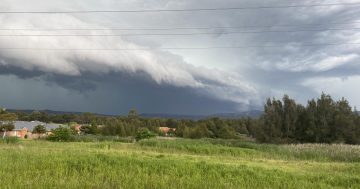
Predicted rain just might have some jumping for joy – but it might not be a light drizzle. Photo: Kim Treasure.
A weather change is sweeping through parts of NSW, bringing with it potentially severe storms.
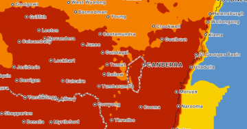
Bureau of Meteorology senior meteorologist Miriam Bradbury said heatwave conditions were expected to give way to potentially severe thunderstorms from Thursday (28 November).
“Cloudy, humid conditions with rain and thunderstorms are forecast for eastern NSW, eastern Victoria as well as southern Queensland,” she said.
“Warm, humid and stormy conditions will also impact western and inland Queensland, the Northern Territory and northern parts of Western Australia.”
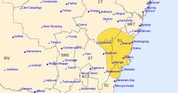
In a severe thunderstorm warning issued shortly after noon on Thursday, the Bureau said much of south-east NSW was seeing severe thunderstorms developing.
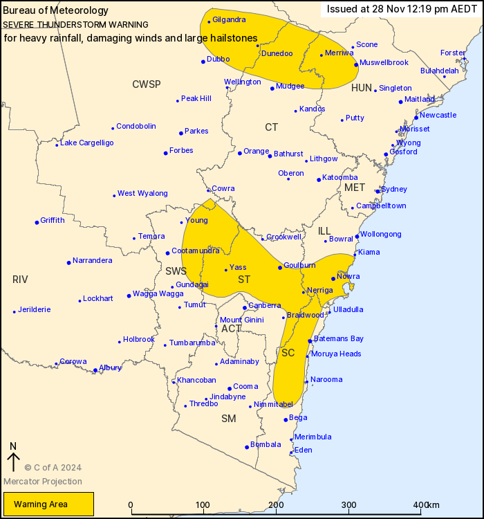
Parts of southern and eastern NSW are expecting severe thunderstorms. Photo: Bureau of Meteorology.
According to the Bureau, locations that may be affected include Nowra, Goulburn, Yass, Huskisson, Araluen and Nerriga.
Ms Bradbury said these forecast storms followed “rain areas, showers and thunderstorms” that hit inland parts of NSW on Wednesday (27 November), as well as the Hunter region and parts of Sydney.
“But these storms were moving quickly, and they generally delivered less than 10 millimetres of rainfall – in most areas less than five millimetres,” she said.
“However, heavier rain and damaging wind gusts impacted parts of the southern Riverina and the Southwest Slopes during the afternoon and evening [on Wednesday].”
Ms Bradbury said this current system could bring heavy rainfall – leading to flash flooding – as it moved over areas like the Illawarra, the Central Tablelands and the ACT from Thursday.
“Damaging winds and large hail are also possible, but heavy rain is the primary risk,” she said.
However, Ms Bradbury said it would also bring some relief from the heatwave conditions affecting much of NSW in recent days.
“Today, Thursday, conditions are easing back to low-intensity heatwaves as this peak of hot weather has passed,” she said.
Also, wet conditions are expected to continue from Friday (29 November) into the weekend.
“On Friday, storms may produce heavy falls, leading to flash flooding across inland parts of NSW,” she said.
“At this stage, storms elsewhere are expected to remain non-severe, but still may bring gusty winds and short, sharp downbursts of rain to some areas.”
As more moisture moves over eastern Australia, rainfall bringing 20 to 40 millimetres is on the cards for south-east Australia.
“This means rain and embedded storms will become expansive throughout the east once again, with the risk of severe storms across southern parts of NSW and northern parts of Victoria,” she said.
Ms Bradbury said the system could affect Sydney, the ACT, Victoria and northern Tasmania.
Up-to-date warnings can be found by visiting the Bureau’s website.
Original Article published by Claire Sams on About Regional.


