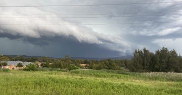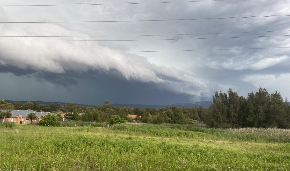
A wet weekend is on the way for the Illawarra, according to the Bureau of Meteorology. Photo: Jen White.
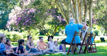
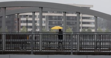
Don’t plan a weekend picnic just yet – the Illawarra is forecast to have a damp, drizzly week ahead.
Although Tropical Cyclone Alfred is predicted to make landfall on the southern Queensland coast about Thursday (6 March), the effects of the mammoth storm will be felt as far south as Wollongong.
The cyclone is currently rated a category two, likely to cause destructive winds and heavy rainfall near its centre.
Sydney meteorologist for the Bureau of Meteorology, Jiwon Park, said this far south the weather will be much milder – although it’s still best to make indoor plans for later in the week.
“Because of the distance from the Illawarra to the centre of the cyclone, its impact will be limited,” he said.
“This system may bring a continued onshore easterly air stream with moderate wind strength of up to 30 km/h to the Wollongong region.
“There will be showers through the week, increasing from just a few millimetres in the later half of the week up to about 30 millimetres per day over the weekend.”
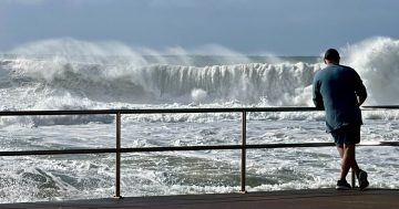
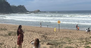
Surf and swell conditions are expected to be hazardous for coastal activities such as rock fishing, boating and swimming for much of the week.
Jiwon said powerful cyclone swells are likely to reach as far south as the Illawarra coast.
“The main concern will be hazardous surf conditions developing with large and powerful easterly to north easterly swells from two-to-four metres,” he said.
“The swells brought from this system will begin mid-week and last until the end of the week.
“Powerful easterly to north easterly swells cause hazardous surf conditions for coastal activities.
“There are currently several flood watches along river systems on the north coast but they have not extended to the Hunter, Sydney or the Illawarra.”
People are urged to take care around the water over the coming days as conditions can change quickly.