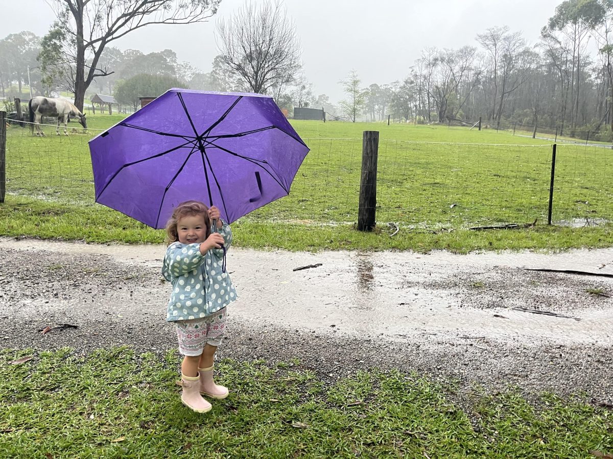
It’s been great weather for splashing in puddles – but not what most people have in mind when they think of an El Niño season. Photo: Kim Treasure.
If you’ve been surprised by soggy weather this El Niño, you’re not alone.
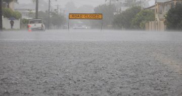
Swathes of the South Coast have been hit by flooding this week, during a climate pattern usually associated with droughts and fires.
CSIRO senior climate scientist Dr Carly Tozer said there were a few other factors at play that led to the recent deluge on the south-east coast of Australia.
“El Niño is associated with conditions that are hotter and drier, but it’s more about shifting the odds in that direction,” she explained.
“If you were rolling dice with weather conditions on them, during an El Niño you’d be more likely to roll hot and dry, but you could still roll them and get cool and wet.
“On top of that, Australia is a big place, and especially for southern Australia, there are other influences on our weather patterns.”
In addition to the Pacific Ocean, where El Niño develops, we have the Indian Ocean and Southern Ocean, which influence our weather and climate.
In the upper atmosphere, we also have a belt of high winds called jet streams.
A jet stream can take storms that form in the Indian Ocean, off WA, and move them across the country almost like a conveyor belt, or a highway.
“In past events, we’ve seen that the jet stream has helped storms to develop and move across the continent, but at other times, when the jet stream is not sitting across Australia, any storms that formed in the Indian Ocean went south and missed the continent,” Dr Tozer explained.
Another piece of the puzzle you might have heard of is the formation of an East Coast Low.
This forms when a blocking high-pressure system sits off the east coast, cutting off low-pressure systems and holding them in place.
This high-pressure system also forces easterly winds onto the coast.
Those winds can pick up moisture from the ocean and send it straight to towns all along the eastern seaboard.
“When this mix of features persists in place, they can bring lots of rain to regions that get hit directly,” Dr Tozer said.
“We’re still learning about how all these puzzle pieces interact – and they don’t always necessarily fit together nicely.
“El Niño doesn’t happen all the time. We’ve got a 100-year record and we’ve had maybe a handful of big El Niño seasons in that time, so trying to draw conclusions about how that impacts our rainfall can be tricky.
“An important question is how often do these rain-bearing weather patterns, like the East Coast Low and associated high-pressure system off the coast, occur in El Niño?
“We do the best we can with the tools we have, but there’s still a lot of room to improve our understanding of these processes.”
The Bureau of Meteorology says about half of past El Niño events have included widespread heavy rain in eastern parts of the country, and all these moving puzzle pieces mean the influence of El Niño Southern Oscillation (ENSO) on rainfall is much weaker near the coast than inland.
Despite the recent deluge, it’s possible this El Niño’s influence on our climate is consistent with generally hotter, drier weather – but we won’t know for sure until the end of spring.
September and October were very dry for much of the country, and even with heavy rains in November factored in, the season may still come in as drier on average.
So, what’s the prediction for weather conditions this summer?
The BoM predicts that overall, it will be hotter and drier than usual. But that doesn’t mean there are no clouds on the horizon.
“El Niño and La Niña are useful tools to provide us an idea of what to expect, but they’re very slow-moving processes,” Dr Tozer said.
“On the other hand, we’ve got the weather that changes daily and hourly, and it can upset those expectations.
“We’ve got pretty decent weather forecasts in most regions out to five to seven days.
“Beyond that, it’s really tricky to connect the dots between all these systems and say what the weather will be like.”